


By GREG JORDAN
Bluefield Daily Telegraph

(Submitted photo)
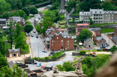
PRINCETON, W.Va. — An almost forgotten railroad could become a big part of a new trail for hikers, bicycle enthusiasts and horseback riders that are interested in exploring the mountains and forests of Mercer and Summers counties.
Mercer County Commissioner Bill Archer said that both Mercer County and neighboring Summers County are working on plans to develop hiking trails and water trails. The hope is that an old railroad right of way going through part of Mercer County will form a connection with trails in Summers County and beyond. This former railroad line was mostly forgotten until its existence became part of negotiations in the 1990s, Archer recalled.
“Back in early 1990 when the commission was working with the Department of Highways to locate District 10 headquarters where it is at Exit 14, a question arose,” Archer said. “There was going to be a three-way swap between the federal government, the highway department and the (county) commission.”
While these negotiations were underway, it was discovered that the descendants of the Bluestone Lumber Company, which operated near Exit 14, had the title to a 32-foot-wide narrow-gauge railroad line that ran all the way to Flat Top, Archer said. The county now owns the right of way.
Contact Greg Jordan at [email protected]
Real the entire article: http://www.bdtonline.com/news/officials-planning-network-of-hiking-water-trails-connected-through-mercer/article_c054b6b8-f42a-11e7-a395-bf24fb9e128a.html
See more from the Bluefield Daily Telegraph